

 Quick Search


|
2797 MAIN ST |
Nova Scotia Tourism Region : South Shore
Description From Owner:
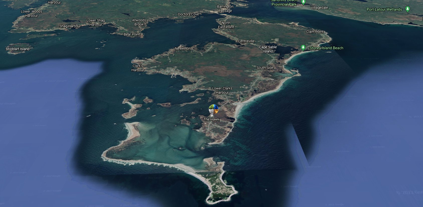
- Hawk Inlet was settled before 1819. The name derives from the wreck of the schooner Hawk, the remains of which lay on the beach here for many years.
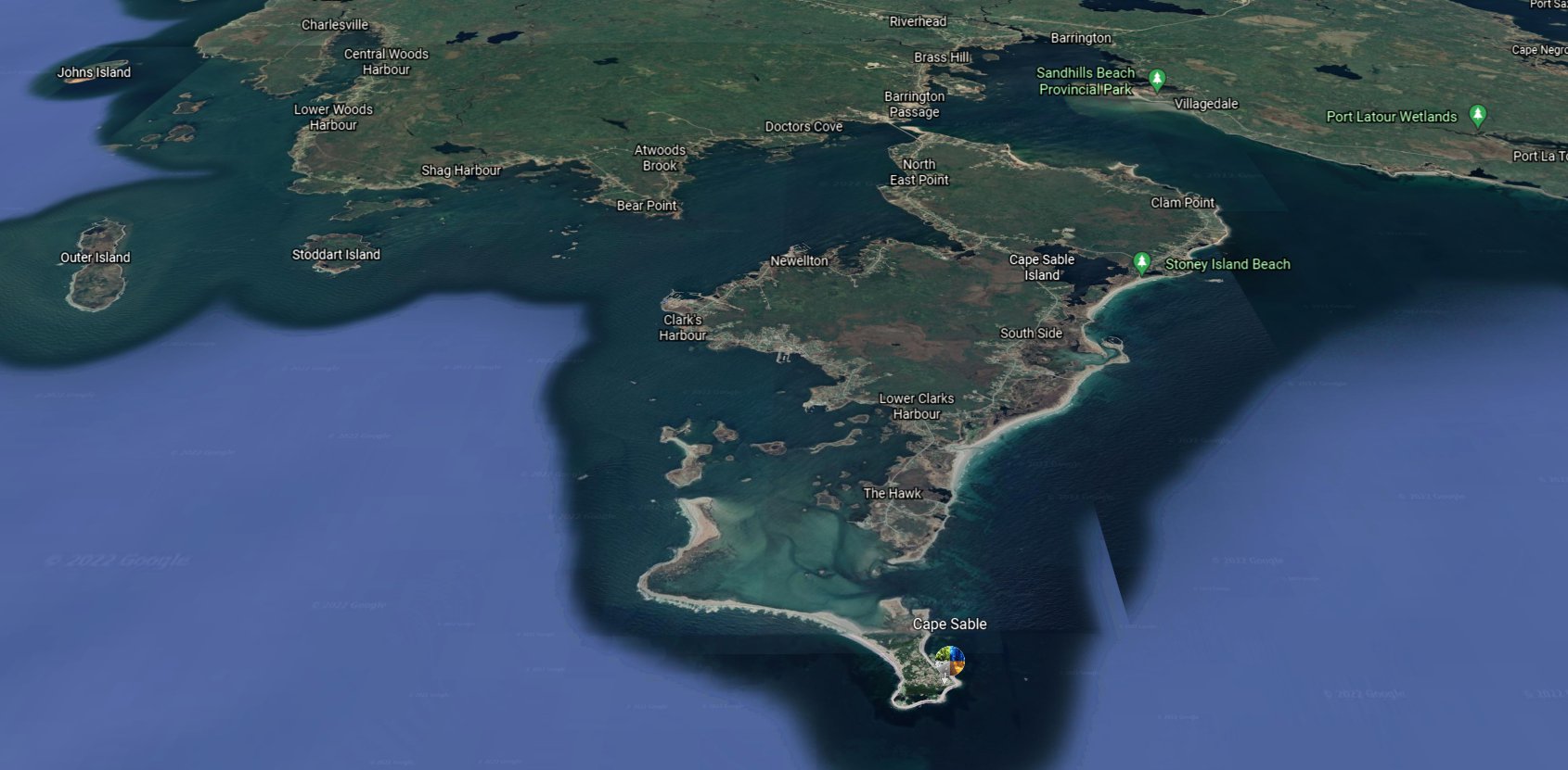
- Cape Sable: the southernmost extremity of Nova Scotia. (Coincidentally, it's also the name of the southernmost point of the continental United States at the tip of FL.)
- The Mi'kmaq called the place Kespoogwitk, meaning ‘end of land’. In the 1550s Portuguese cartographers called the cape area Beusablom, ‘sandy bay’.
- According to historian William Ganong, the earliest known use of this name for the island off Barrington Passage is found on the Lopo Homen map of 1550.
- It is shown on Champlain's charts as Bay du Cap de Sable and Cap de Sable and may be the oldest place name on mainland Nova Scotia.
- Sable is French for 'sand.' The first lighthouse was built at Cape Sable in 1861. The Cape Sable Island Causeway, linking the island to the mainland, was opened in 1949.
- With permission from 'Nova Scotia Place Names' David E. Scott 2015
Address of this page: http://ns.ruralroutes.com/TheHawk